
Do more with your drone.
Turn repeat farm flights into pasture insight, mapped observations and a farm record that becomes more useful every time you fly.
Fly a route.
Plan a mission with AgRhythm or bring the waypoint route you already use. Repeat capture makes it easier to see what has changed.
- Use your own route or create one with AgRhythm
- Works with straightforward and enterprise workflows
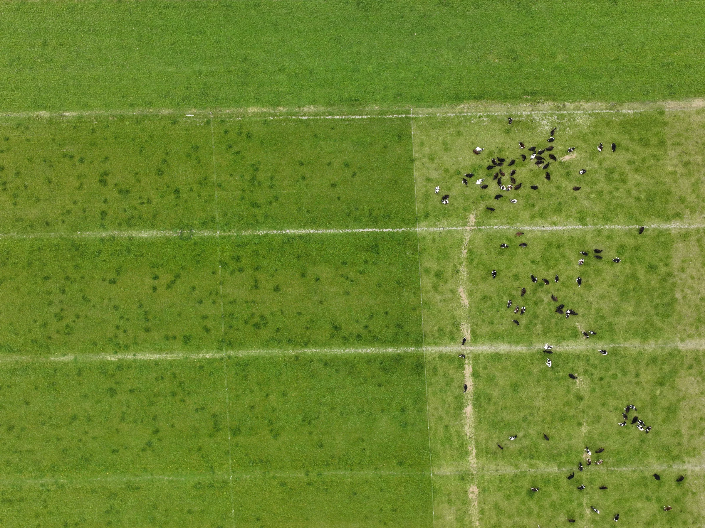
Bring the flight into AgRhythm.
Upload the photos through the importer. AgRhythm keeps them with the right farm, paddock, route and point in time.
- Import a completed flight in one place
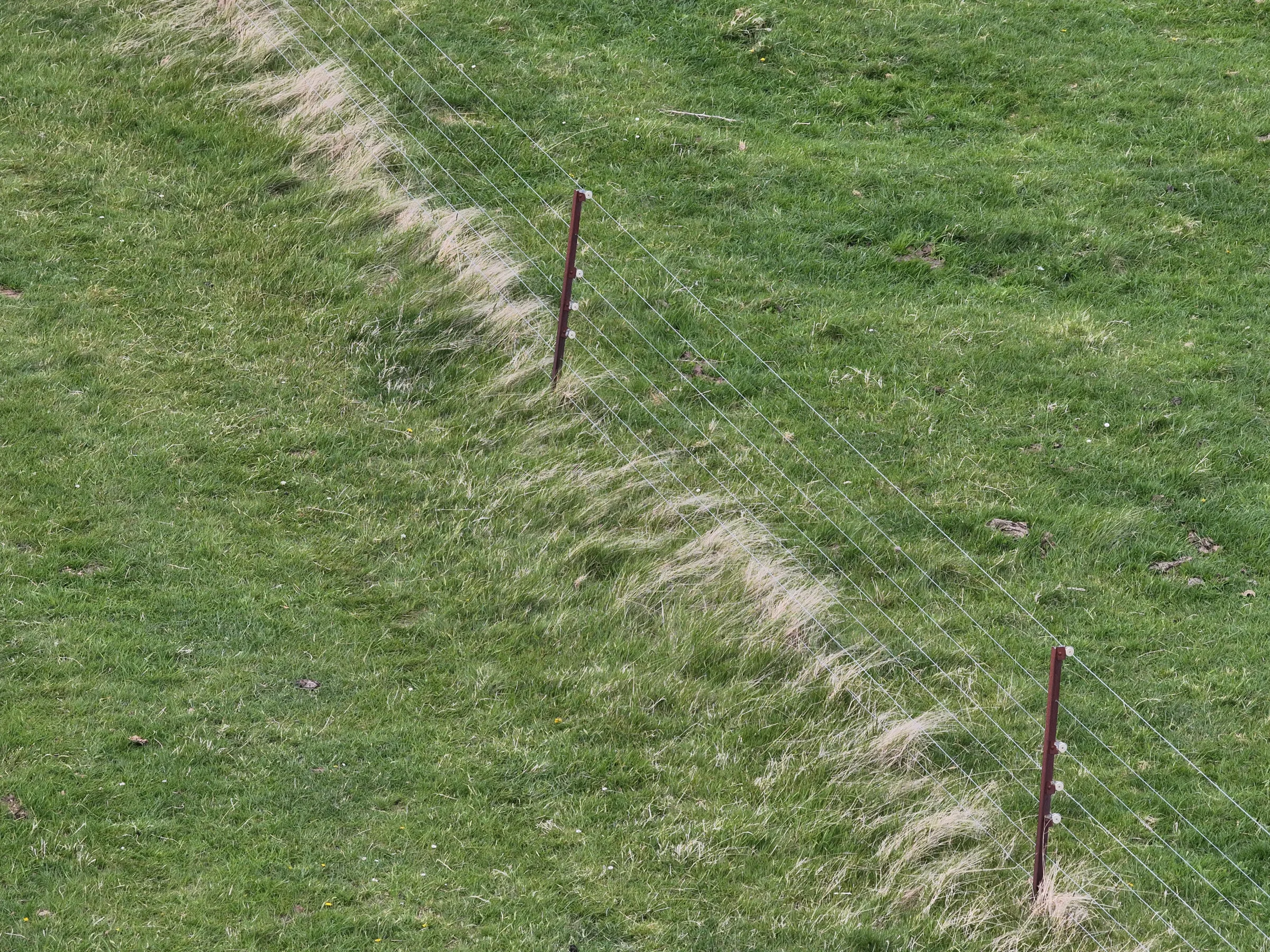
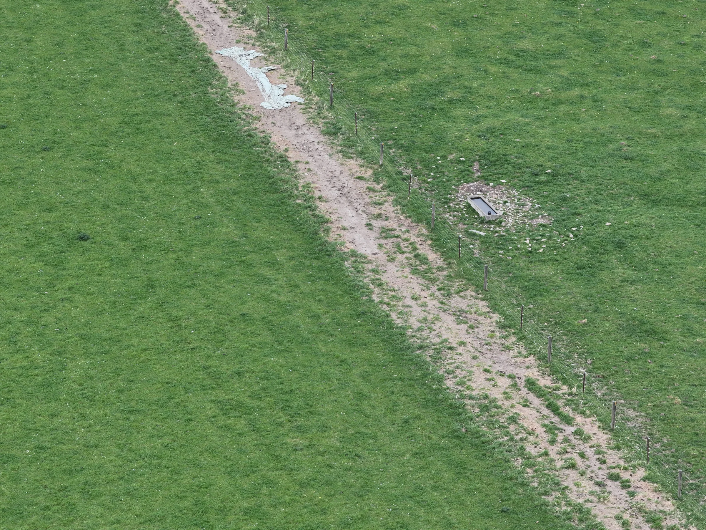
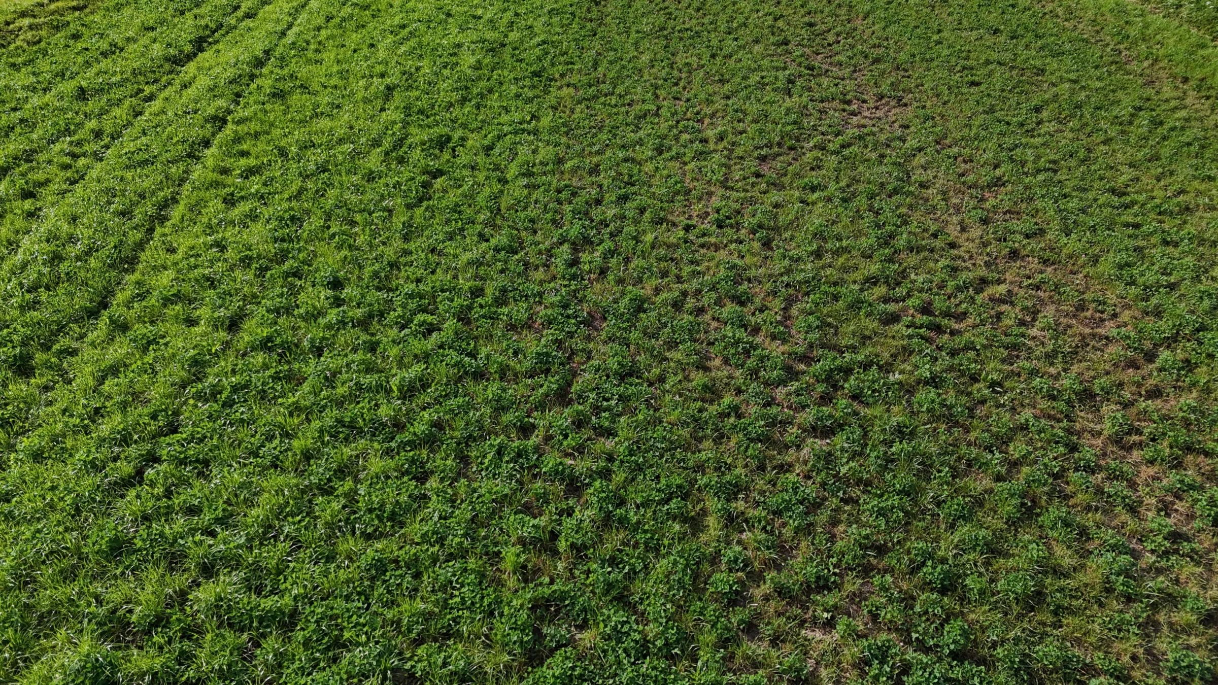
See the reading in farm context.
Review pasture dry-matter estimates against your farm readings, imagery and grazing history. The more useful evidence you add, the better the farm-specific picture becomes.
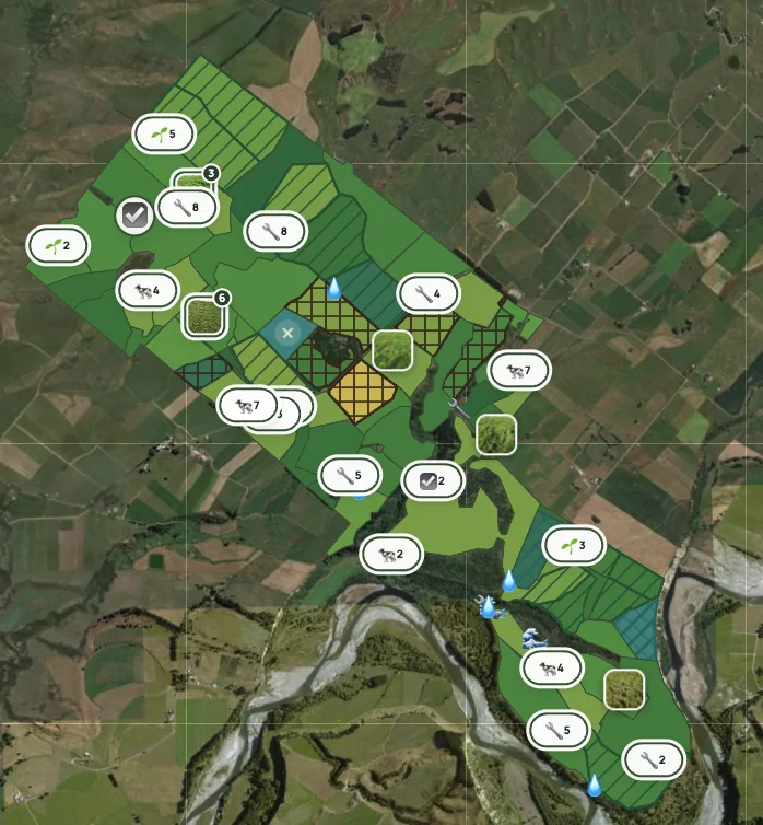
Make the flight part of the farm.
Connect what it sees with pasture, mobs, tasks, assets and farm history, then use the wider picture to plan the next move.
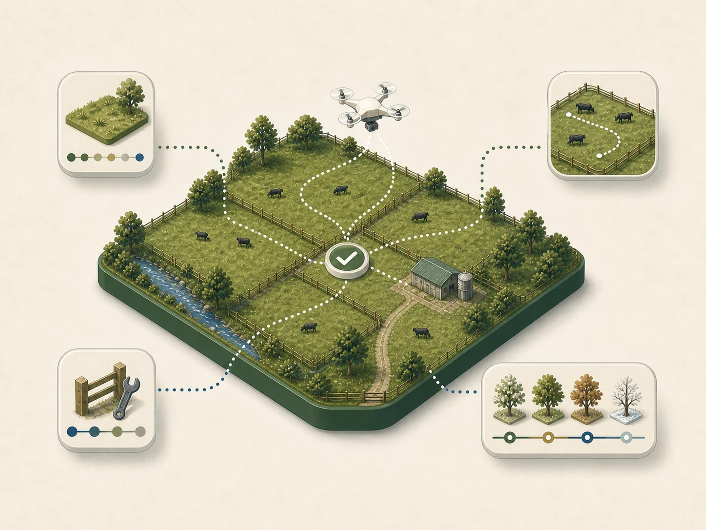
Start with the drone. Keep the bigger picture.
AgRhythm is flexible enough to fit the way each farm works. Start with a flight workflow, then connect the other information that matters to your decisions.
Help us build.
AgRhythm is an open book. We see a way technology can do better. We would love to work with farms interested in helping us shape a future for farming.
- Talk to us and find out what’s possible
- Access a myriad of tools
- Direct input into what AgRhythm builds next