Save the paddock round
Use drone imagery to reduce the time spent eyeballing pasture cover by hand.
Bring your own DJI drone — no enterprise kit required. Fly your paddocks, upload the photos to AgRhythm, and get kg DM/ha estimates per paddock, calibrated to New Zealand pastoral conditions.
You can still join the beta and use AgRhythm for map-based records, paddock context, observations, and practical farm workflows while the drone tools keep developing.
Walking or driving every paddock takes time, and the result is still subjective. AgRhythm gives you a record you can compare, revisit, and use alongside the rest of your farm work.
Use drone imagery to reduce the time spent eyeballing pasture cover by hand.
Build a pasture history across flights, paddocks, seasons and management decisions.
Keep pasture readings beside observations, photos, tasks and paddock records.
No specialist gear. No complicated setup. If you have a DJI drone, you can start testing the workflow.
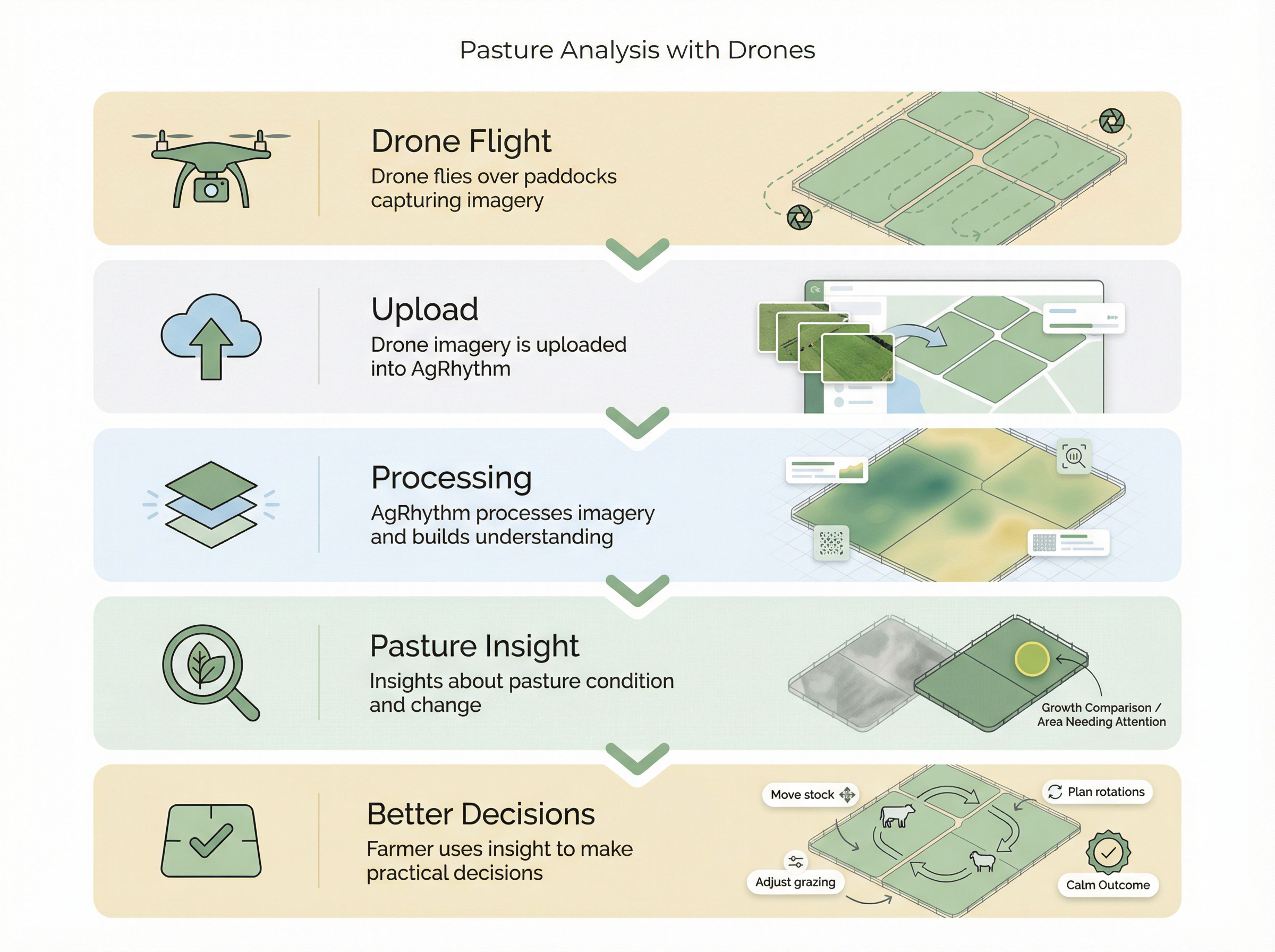
Set waypoints manually in your DJI app and fly the paddocks you want assessed.
Upload the photos so AgRhythm can place and contextualise each image.
Use kg DM/ha estimates and map context to build a record over time.
Pasture readings that sit inside the same farm memory as your field notes, jobs and maps.
The number farmers actually use, attached to the paddocks being assessed.
Designed around New Zealand pasture conditions, not generic row-crop indexes.
Connect pasture readings to paddocks, observations, drone images and decisions.
Each flight adds to a record you can compare across rotations and seasons.
Use pasture insight beside mob movement and paddock rotation planning.
Keep results alongside photos and notes so the reasoning is easier to find later.
We are looking for farms to trial this with us. No cost. You help us refine the tool, and we give you practical pasture data in return.