
Start with the property
Keep boundaries, assets, maps and client context with the job.
AgRhythm Drone Operator Platform
Connect farm maps, job planning, imagery, treatment records and client delivery in one property-linked workflow. We want to test what genuinely saves time, then refine it with New Zealand operators.
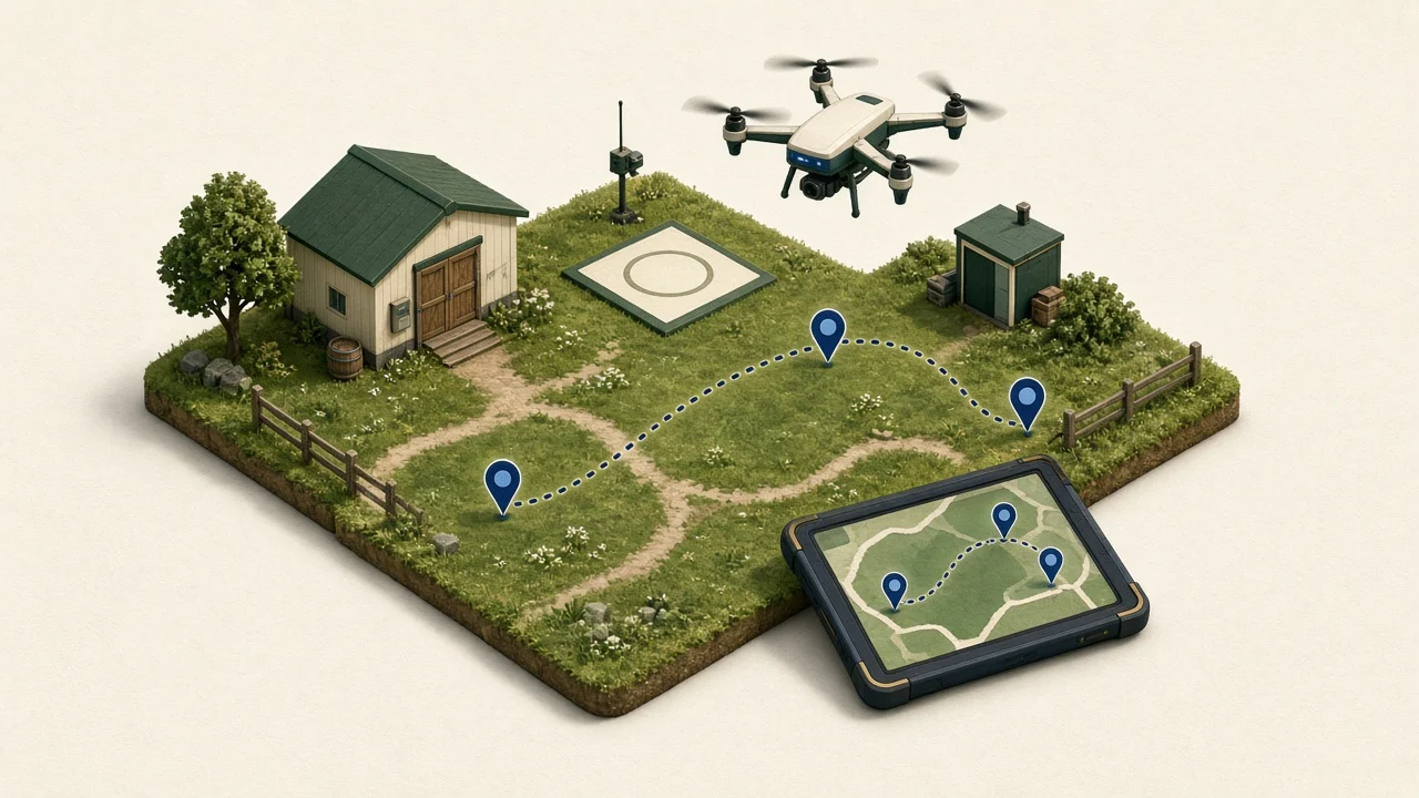
AgRhythm is a map-based farm and land-management platform. Farmers, operators and other service providers can plan work against the same property information and retain useful records over time.
Keep boundaries, assets, maps and client context with the job.
Plan capture, organise files and review the intended result.

Deliver agreed outputs without losing the history behind them.
Platform capabilities
 Client and job managementKeep the brief, property, flights, files and intended outputs together.
Build a job around the client and property instead of starting with a loose folder.
Shared farm maps and property informationGive each job the boundaries, assets and land context it needs.Use the farmer's existing property information as the common reference for planning and review.
Flight and capture planningPrepare waypoint, mapping and object-capture missions in property context.Plan the photographs and route needed for the intended result.
 Mapping and imagery workflowsRetain the source photos, reviewed maps and dated versions.
Bring completed captures or begin with a new plan.
 Spray planning and treatment boundariesTurn reviewed survey evidence into explicit treatment information.
Keep survey work separate from the treatment plan and selected spray aircraft.
 Obstacles, exclusions and operational planningReview no-work areas, terrain and operational constraints with the plan.
Keep the limits of the job visible before a mission or treatment file is handed over.
 Application and job recordsRetain the plan, evidence, changes and completed work.
Build a reviewable record around the work rather than relying on memory.
 Reporting and client handoffReview the intended delivery and return authorised files to the client.
Keep draft, reviewed and delivered results distinct.
Repeat monitoring and property historyMake the next visit easier to plan and compare.Use dated maps, photographs and plans to understand change over time.
 Collaboration around the propertyWork with farmers, agronomists and other technicians using shared context.
Give each participant the appropriate view of the job and its results.
 Operator directory and referral opportunitiesMake your services visible to farmers looking for practical help.
The operator directory is open now. Referral and available-work workflows will continue to develop with participating operators.
 Future integrations and specialist workflowsExplore the extensions that matter to real operator work.
These areas need further development, external tools or specialist expertise.
Bring a real workflow
Join the directory and we will get in touch about onboarding, a platform walkthrough and the tools most relevant to your work.